What do Historical Traffic Maps Unveil?
- News
- Mobility
- IVT
- Spatial planning
Implications of traffic routes on region, society and economy.
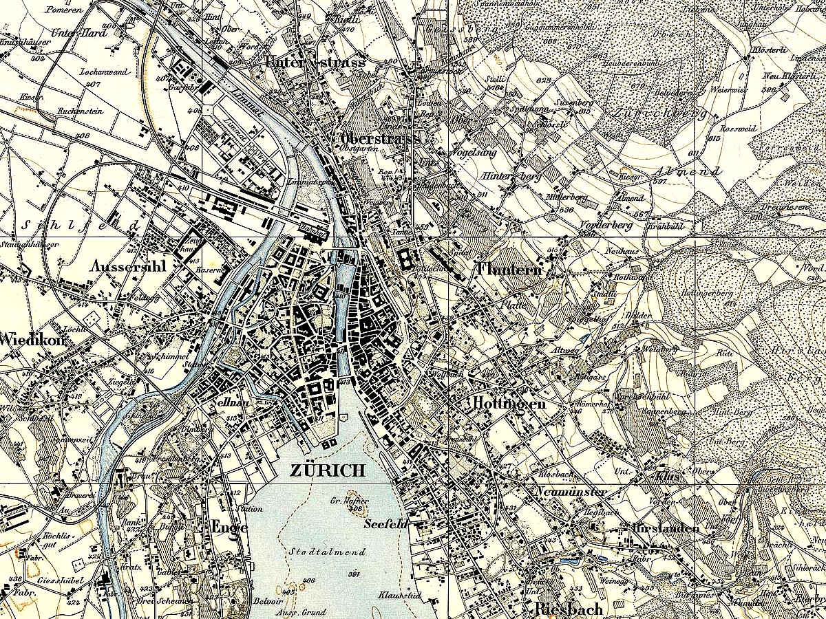
Zurich Siegfried map from 1881 (CC0 by Eidgenoessisches Stabsbureau via Wikimedia Commons)
Europe's transportation system is being built for centuries. Accessibility has consistently changed regions and districts, some approached to each other, some divided apart. Read more